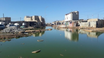
Powerful hurricanes can wreak havoc when they strike heavily populated coastal areas. New research shows that the cities themselves might be partly responsible for attracting these storms, with the extra friction created by “rough” landscapes such as tall buildings significantly diverting the path of a storm.
A hurricane, or tropical cyclone, is a system of winds rotating inwards to an area of low pressure. Stretching hundreds of kilometres across, they feed on the heat given off by moist air as it rises and condenses. As such, they form over large expanses of warm water – normally tropical seas – and lose strength if they reach land.
In May the National Oceanic and Atmospheric Administration (NOAA) in the US said that this season the Atlantic would probably see more hurricanes than normal, giving a 70% probability of between three and seven really big storms in 2010. Currently, the NOAA is able to provide a 24-hour forecast of the position of a hurricane’s centre with a margin of error of about 100 km but it becomes especially difficult to predict the path of hurricanes once they reach land.
Scientists know that wind speeds drop significantly due to the extra friction that a hurricane experiences once it makes “landfall”, and they have also observed how the reduction in moisture inland causes a hurricane to peter out. Now Johnny Chan and Andie Au-Yeung of the City University of Hong Kong in China have extended these analyses to find out the effects of variations in roughness and moisture levels over land.
They did this by using the Weather Research and Forecasting model to simulate a hurricane approaching a north-south coastline from the east and then passing over rough land. Roughness could be generated by tall buildings, hilly terrain or forests; marshland or agricultural land, for example would be smoother.
Rougher land
In one simulation the researchers studied what happened when they made some of the coast rough and some smooth. With the northerly portion rough they found that the hurricane drifted several tens of kilometres northwards and likewise when the southerly section was rough the hurricane shifted southwards. They say that over rougher land, greater friction causes the air to become more compressed, which forces it to rise up and release more of its latent heat. This heating in turn then causes the air to spin faster, which pulls the hurricane in that direction.
Chan and Au-Yeung say that their research shows the importance of including land-surface variation in hurricane forecasting in the future. But they admit that more needs to be done to confirm the results of their study. They say they will now improve their simulations so that they include the very slight variation in rotation that the Earth experiences at different latitudes, which, they say, causes a larger drift in a hurricane’s position than surface roughness. They say they will also put in more detailed features, such as mountains or jagged coastlines.
Harold Brooks of the NOAA’s National Severe Storms Laboratory in Oklahoma says he doesn’t think the research will make much of a difference to forecasting a hurricane’s position but believes it might help us better understand how the intensity of a hurricane changes. “It has been observed that frequently hurricanes lose intensity just before landfall,” he says. “The reason for this is not clear. It is possible that a better understanding of coastal processes could address that question.”
The research has been accepted for publication in the Journal of Geophysical Research (Atmospheres).