How do commuters move around in big cities? Most people would assume that they all do pretty much the same thing: travel from the outskirts to the centre, and then back again. Yet according to a group of physicists in the UK and France, this is not the case.
“The popular conception of a city – that people work in the centre and live around the edge – is, to a certain extent, a gross simplification of what actually happens,” says Michael Batty, director of the Centre for Advanced Spatial Analysis at University College London (UCL). “The notion that one could simplify the sort of complexity that is evident is probably a non-starter.”
For decades town planners have analysed how people move in cities to figure out how to reduce congestion. However, data typically come from samples, such as household surveys, performed every five to ten years, and these only give a sketchy overview.
Popular journeys in London
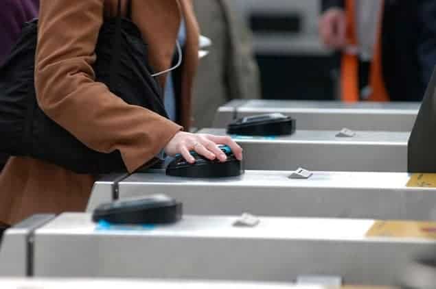
Batty, together with colleagues at UCL and the School for Advanced Studies in Social Sciences in Paris, has investigated how people move around in London using data derived from subway travel cards – or “Oyster cards”, as they’re commonly called. Because such cards give the unique ability to track where people are going from and to for most journeys, the researchers were able to build up an accurate hierarchy of the most popular journeys taken in London.
Some of the results might surprise commuters and town planners alike. Commuters starting in different locations will often travel roughly the same distance, yet there is a huge variation – a “heterogeneity” – in where they travel to. For example, while Batty’s group found a strong travel link between the main financial district (the City) and Notting Hill, they found no similar link between the City and South Kensington, just a few miles south. Instead, South Kensington linked strongly with Westminster. The implication, therefore, is that those living in Notting Hill tend to work in the City, while those living in South Kensington are more likely to work in Westminster.
Overall, the researchers found that London contained no single centre, but instead has around 10 “polycentres” that interlink in complex patterns. “One of the conclusions is that city centres in big global cities like London really have to be unpacked and looked at in detail,” explains Batty. “But having said that, there’s an implicit conclusion that if you looked at any city centre, on whatever scale, you would find it to be considerably more heterogeneous than you had assumed it to be in the past.”
Extended to mobile phones
Indeed, the researchers’ study is a good example of how data deriving from everything from GPS trackers to banknotes can be used to analyse human mobility (see “The flu fighters). Marta González, a physicist who studies human mobility at the Massachusetts Institute of Technology, US, says that it could help develop strategies for reducing congestion. “I really benefited [by examining Batty and colleagues’ techniques], which could be extended to analyze flow from other data sources, such as mobile phones,” she adds.
Batty isn’t certain how the study will be used, but suggests that it might throw light on future travel projects in London, such as the underground “Crossrail” plan. He also believes that the analysis could be repeated in other places that have automated subway ticketing, including New York City, Singapore, Hong Kong and Tokyo.
The research can be found as a preprint at arXiv: 1001.4915.


