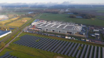
If a picture’s worth a thousand words, then the 1000 m2 physical model of the lower Mississippi river at LSU Center for River Studies must seem like a treasured tome to hydrologists. In this video, LSU researcher Clint Willson explains why the Mississippi model is such a useful tool for scientists, policy makers and the general public.
Located at the Baton Rouge Water Campus, it is one of the world’s largest movable bed physical models – 20 high-definition projectors illuminate the model and bring the river and coast to life. Being highly dynamic, the model is used to study the geography and hydrology of the Mississippi under different scenarios. That includes visualizing rising water levels during hurricanes, as well as longer-term impacts of sea-level rise on coastal lands.
In addition to its role in scientific studies, the model can also be used by authorities including land-use and evacuation planning. Unsurprisingly, the facility is also popular for education and outreach, to help spark an interest in environmental research in a part of the world with its fair share of environmental challenges.
Urban resiliance
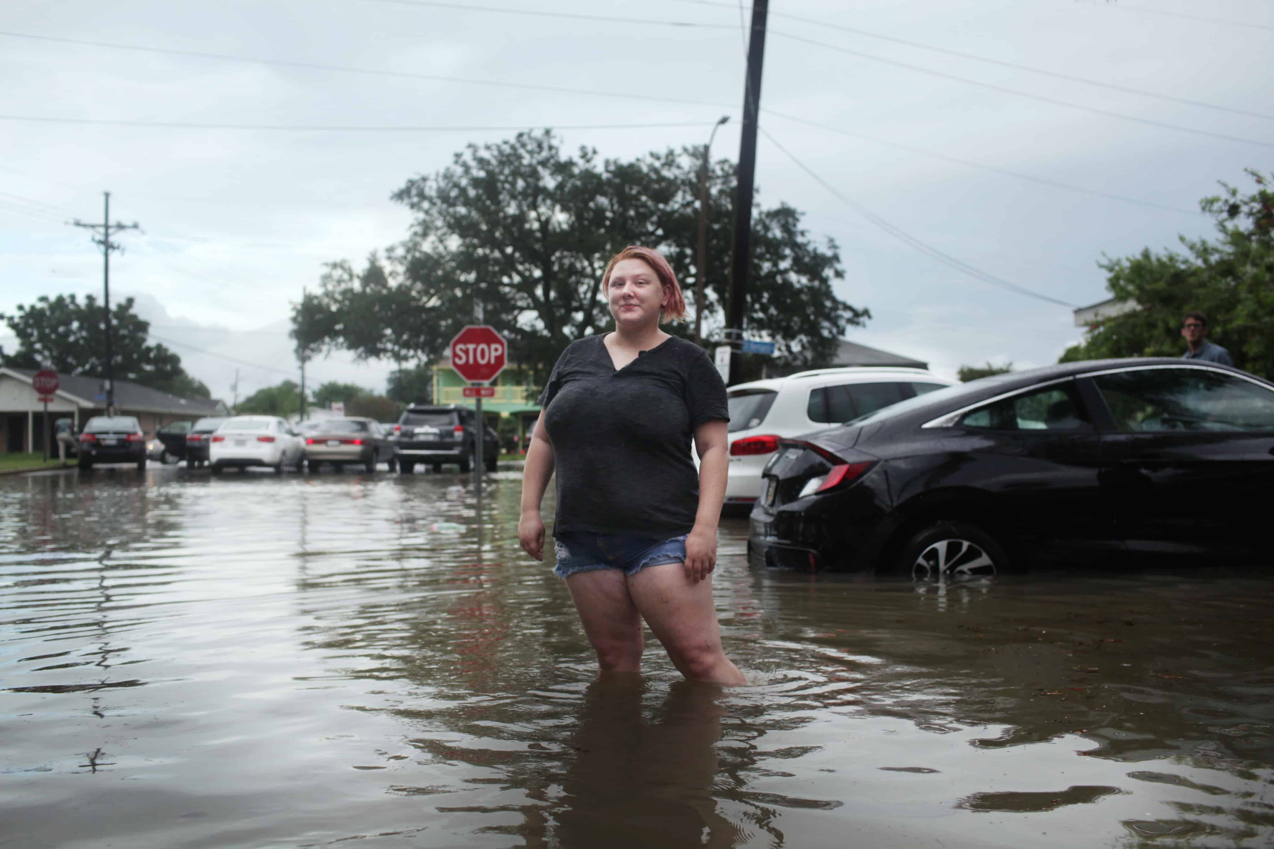
For more information about how the US is responding to flood risk, see the Physics World short documentary, Testing the Waters in New Orleans. The film explores how scientists are working with residents in the Gentilly district of New Orleans to help make their neighbourhood more resilient to flooding.