It is essential that scientists closely track ongoing changes in Earth’s cryosphere, including the surface area covered by ice, which is both affected by climate change and contributes to it. Two previous satellite observation missions will be succeeded and significantly upgraded in 2018, NASA reported at the American Geophysical Union (AGU) meeting in New Orleans in December.
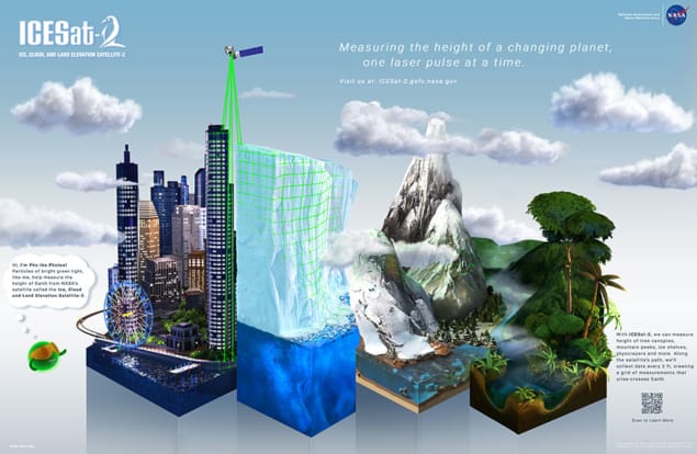
NASA plans to launch ICESat-2 (Ice, Cloud, and Land Elevation Satellite-2) into polar orbit in September 2018. Its multibeam micro pulse laser will fire 5000 times every half second, taking 30,000 measurements over a surface distance of around three kilometres.
Its predecessor, ICESat, was launched in 2003 and operated until early 2010 with but one objective: to quantify contributions to sea-level change by melting from the Antarctic and Greenland ice sheets. It discovered that most of “the action” is on the sloped glaciers around the margins of those ice sheets, said Thorsten Markus of NASA’s Goddard Space Flight Center. Markus is the new mission’s project scientist.
“We need to do better than what ICESat-1 was able to do,” Markus said at the AGU meeting. ICESat-2 will also quantify regional signatures of ice-sheet changes, to help improve predictive ice-sheet models.
ICESat-2 has an additional new objective – to estimate the thickness of Arctic sea-ice, which has been declining. Thirty years of satellite data have provided a good understanding of the decreasing surface area of the ice, Markus said, but we do not have an adequate understanding of its thickness.
The second 2018 mission is the GRACE-FO, scheduled for launch in the spring, with first data release in June. GRACE-FO (Gravity Recovery and Climate Experiment Follow-On) is a pair of satellites produced jointly by NASA’s Jet Propulsion Laboratory (JPL), and the German Research Centre for Geosciences (GFZ), with participation by Deutsches Zentrum für Luft und Raumfahrt (DLR), the German Aerospace Center.
The original GRACE satellites functioned from 2002 to 2017, flying in tandem polar orbit 220 km apart and racking up scores of discoveries about Earth’s water cycle. The new version, crammed with more sophisticated equipment, will, like its predecessor, measure gravity changes alone to determine such factors as aquifer depletion, the impact of seismic activity, and changes in deep ocean currents, as well as water storage globally.
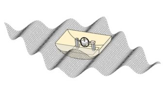
There is no direct measurement to the ground, only between the satellites. A microwave ranging instrument will constantly assess variations in their distance of just a few nanometres—the size of a large virus—said Felix Landerer of JPL, GRACE-FO deputy project scientist, at AGU.
“We’re very excited about these missions,” Landerer said. “I think the great thing is also that these are going to fly together concurrently and it’s really the combination of these multiple observations, these multiple angles that we have on the ice sheets, on our water cycle, that will enable us to track the health, the status of Earth’s ice…and Earth’s water cycle as it evolves and quite dramatically changes in these decades.”


