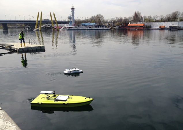
Every morning this week, thousands of geoscientists have taken the U1 train from central Vienna across the Danube to the European Geosciences Union 2018 General Assembly. On Wednesday morning, in what may have been a meeting first, some of them ventured just a few minutes away from the conference centre to the banks of the Danube to test out a couple of robot boats.
The boats – one large, one small – offered complementary measurements. The smaller is under development by IntCatch 2020 for citizen-science projects and can be run autonomously, automatically spiralling or motoring in a grid to take data on water quality. EGU delegates were also able to drive the boat by remote control and see the data it was collecting via a weblink on their smartphones.
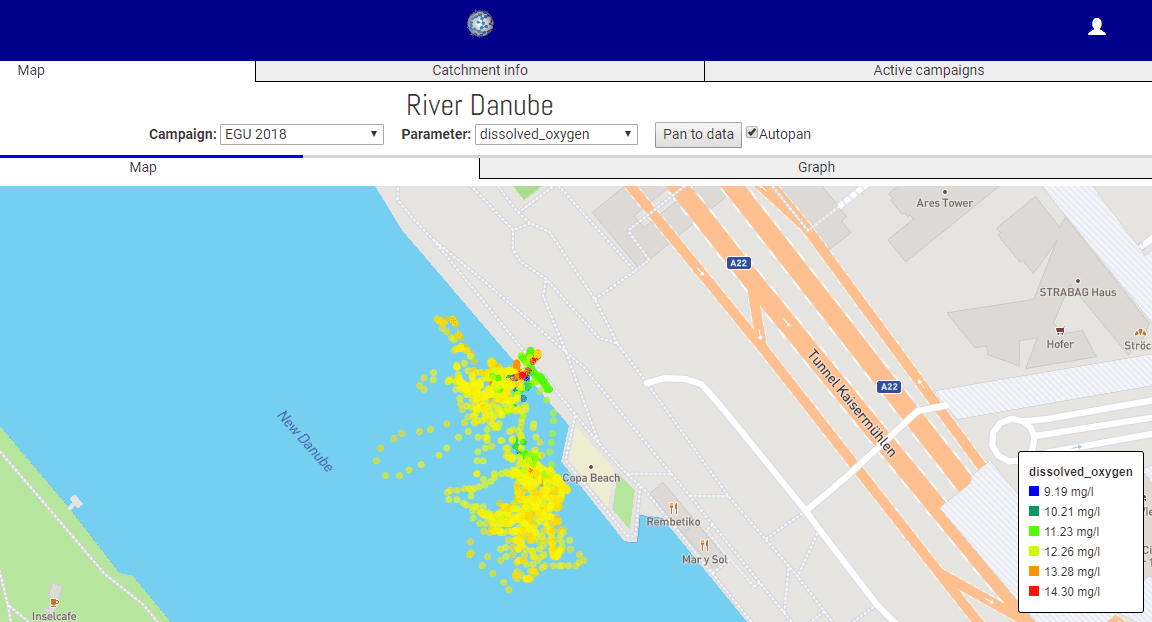
The boat, which is fitted with GPS, could help citizen-scientist data make more impact with policy makers – it’s currently underused. Since the boat can take measurements and collect water samples autonomously it doesn’t need an expert to be present and its georeferencing means citizen scientists can prove, for example, that they didn’t fix their measurements by taking them directly from a sewage outlet. What’s more, as Nathalie Gilbert of Thames21, UK, put it, the boat can “get to places you can’t go with a bucket”. The IntCatch 2020 project is halfway through and looking for collaborators. So far, test sites have included Lake Garda in Italy and the river Ter in Spain.
The larger boat, some 2 m long, held an acoustic Doppler current profiler with up to 9 beams to measure river flow and sediment load. Using this ARC-Boat is much faster than taking measurements using traditional flow measurement techniques, as Nick Everard of the UK’s Environment Agency explained. Better still, since it’s remote controlled, nobody puts their life at risk in a manned boat.

Older techniques such as rotating element current meters take data only at specific points in the river and can require up to five people (if using a boat rather than suspending the kit off a bridge) to measure a site in one day. The acoustic Doppler current profiler on the ARC-Boat, on the other hand, profiles a river in just a few minutes. Two people can assess up to six sites in one day, making this method some 15 times more efficient. The boat is big enough to deal with floods but splits into two parts for transport in cars. And if you include GPS on board, it can also map a river’s bathymetry as well as velocity. This “lifts the lid on the river”, Everard said. Next the team wants to add water quality measurements and autonomous control. “Don’t just model, measure,” said Everard. “Measuring is more fun”.

