Average wind speeds and wave heights have been strengthening slightly over the last three decades across much of the marine environment, according to Ian Young and Agustinus Ribal of the University of Melbourne in Australia. Their study found that the largest rises have occurred in the Southern Ocean and also that the magnitude of extreme wind and wave events (those in the 90th percentile) have increased significantly. Their work overcomes previous challenges in integrating measurements made by different satellite platforms and their results could help to refine future climate models.
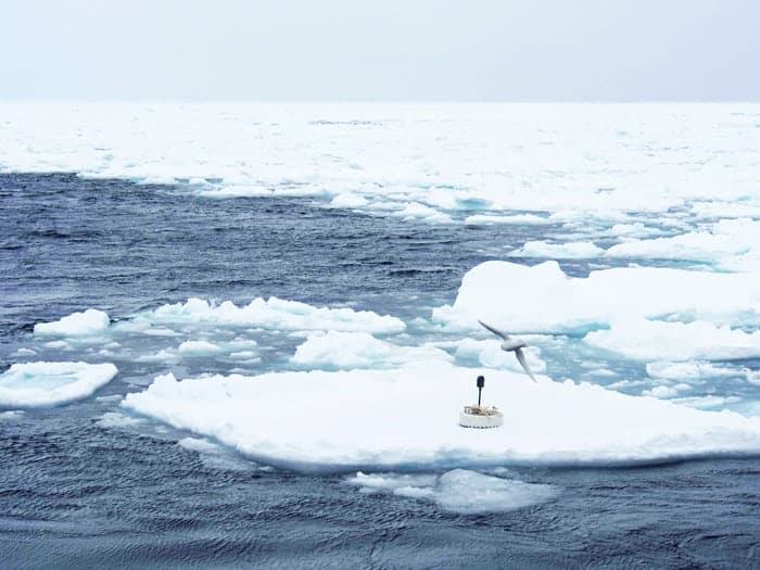
Wind and waves provide important links between the oceans and the atmosphere and understanding any changes in wind and wave patterns is crucial for anticipating future climates. For example, the strength of wind blowing over open waters is a prime driver in setting the ocean’s surface roughness – a parameter that dictates the extent of energy and carbon dioxide transfer between the ocean and the overlying air. Furthermore, some waves will ultimately break upon the shore and understanding trends in wave height is important for protecting coastlines as sea level rises.
Unfortunately, detecting small shifts in the global wind and wave trends using long-term records has proven challenging. Much of the data gathered on ocean wind and waves comes from instruments deployed on buoys. Studies have demonstrated, however, that data collection is not necessarily uniform across the global buoy network.
Consistent calibration
An alternative lies in using satellite data, which provides global coverage going back over 30 years. Satellites use a variety of measurement devices to study the oceans including altimeters (for wave height and wind speed), radiometers (for wind speed) and scatterometers (for wind speed and direction). However, like the buoy network, there are important challenges for those using satellite data including is how to ensure the consistency of calibrations across different satellite platforms, dealing with biases that are inherent in satellite monitoring and explaining inconsistencies in wind-speed trends measurements made using different instruments.
In their new study, Young and Ribal have taken steps to address these challenges by focusing primarily on data acquired between 1985-2018 by 13 satellite altimeters. To verify the altimeter data, the duo also used measurements from 11 radiometers taken in 1986-2013 and data from seven scatterometers taken in 1992-2018.
The team calibrated the three satellite datasets using data collected by buoys monitored by the US National Data Buoy Center (NDBC), a second and independent buoy dataset and measurements made by other satellites.
Extreme wind and waves
Their work reveals that these waves, and the winds that generate them, are increasing in magnitude and have been doing so for the last 30 years on a global scale. Furthermore, the study shows that extreme wave conditions are increasing even more rapidly – with the largest increases occurring in the Southern Ocean. Indeed, extreme winds in the Southern Ocean have increased by approximately 5.4 km/h or 8% over the past 30 years. Extreme waves in this region have increased in height by 30 cm or 5%. In general, the study found that winds are increasing at a faster rate than wave height.
The study backs up climate models, which predict that westerly winds in the Southern Ocean are strengthening as a result of the enhancement and southward movement of low-pressure systems. The study also supports model-predictions that the trade winds in the Pacific and Atlantic are strengthening at mid-latitudes.
With regards to extreme wind speed and extreme wave height, large increases are seen across much of the globe. The reasons behind these changes are not entirely clear, Young says, but are likely a product of both climate change and multi-decadal oscillations that impact wind speed, such as El Niño, the North Atlantic Oscillation and Pacific Decadal Oscillation.
Best dataset possible
“[Young and Ribal] have done their best to check, double-check and cross-check that they have the best dataset possible. For this alone – they deserve all credit,” applauds Ole Johan Aarnes, a researcher from the Norwegian Meteorological Institute, who was not involved in the study.
“To state they have a completely homogenous dataset, cleared for any unwanted effects, is probably somewhat optimistic, however, this study is an important step on the way to better understand changes in marine winds and wave heights over the last 30+ years.”
Big waves cause trouble for sea ice
Aarnes says that his biggest concern is how the three datasets are all calibrated against NDBC buoys. Not only could this potentially mask differences between the three satellite datasets, he cautions, but these buoys are also subject to unwanted changes over time.
“In this way, calibration against NDBC buoys may actually introduce inaccuracies that were not there in the first place,” Aarnes warns.
With this initial study complete, an international programme has commenced to further refine the quality of the long-term satellite database and by extension, the quality of the data. Alongside this, Young says, the dataset will provide a valuable test bed for various climate models.
“Integration of wave effects into these models will be an important part of future research,” he concludes.
The research is described in Science.