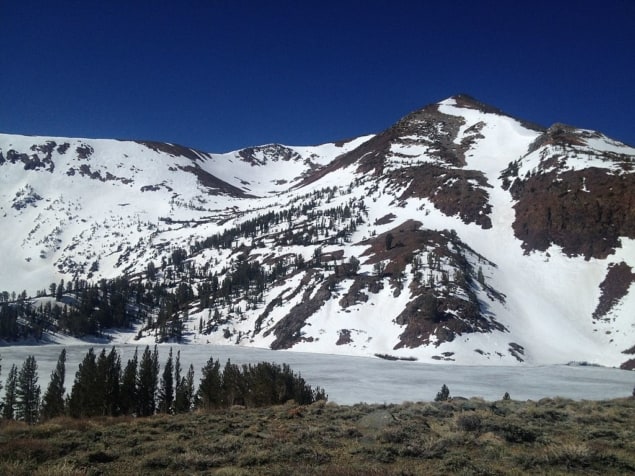
The snowpack in California’s Sierra Nevada mountains has declined in volume and duration over the past 37 years, according to a new study. The implications range from more devastating forest fires to overflowing or dried-out reservoirs.
“Our winters are getting sick, and we know the reason why,” says Amato Evan of the Scripps Institution of Oceanography, US. “It’s global warming. It’s rising temperatures, and that’s the only logical explanation for what’s happening.”
Evans participated in a session on the Sierra snowpack at the Fall Meeting of the American Geophysical Union (AGU) in Washington, DC, in December 2018.
There is great variability in mountain precipitation from year to year. 2015 was an “amazingly horrible year” in terms of the snowpack, Evan said, while in 2017 there was “a lot more snow than anyone expected”.
In California and other western states, the availability of melted snowpack water, held in reservoirs, is critical during the dry summer months. Evan and colleagues established a network of 400 observation stations across virtually every major watershed in the Sierra Nevada and other western ranges. Each station is equipped with a large rubber pillow filled with antifreeze.
“That pillow measures, every hour, the weight of the snow that’s on top of it,” Evan said. “It is an incredibly accurate measure of snowpack.”
Evan defined a mathematical function to smooth out the day-to-day fluctuations as the snowpack builds up in winter and swiftly declines in the spring. That way he could determine long-term interannual trends. After analyzing the results from those 400 stations over the western US, Evan came away with two main conclusions.
Firstly, the amount of snowfall does not shows a declining trend. Rather, “the annual cycle of snowpack is being squeezed on both sides,” Evan says, with fall ending later and spring arriving earlier. “The snowpack is being squeezed in.”
The other major finding is more subtle. The graph of snowpack build-up and release is becoming more bell-shaped in the high mountains. Rather than steady winter buildup and rapid spring decline, as was typical in the past, both buildup and release are more gradual, and earlier. Previously this was the norm only at lower elevations.
“The mountains are, in effect, kind of shrinking, with regard to how much snowpack,” Evan said.
Such results had been modeled before but the monitor pillows are the first to record them. The most significant changes, Evan finds, are in April through June, with a smaller snowpack melting earlier, when the water is less needed at lower elevations.
The declining snowpack means earlier filling of reservoirs, with possible overflows that waste water that could have supplied drinking and agricultural needs later in the year.
Wildfire seasons have lengthened in recent years, and California experienced its most extensive and destructive wildfires in 2017 and 2018. Forest fires are most deadly when the soil and ground-level brush are dry, a result of early snowpack runoff. According to Donal Seán O’Leary III of the University of Maryland, US, at the AGU meeting, if the snowpack is low in April, plan for fires in November.


