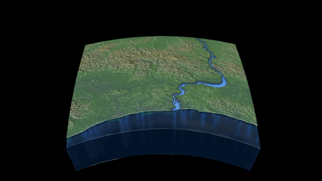
For the first time, researchers have accounted for river outflow in models of sea-level rise in coastal areas.
“The equation we derived lets us predict how much sea level will rise based on river flow, and then compare that prediction to actual measurements and observations,” says Chris Piecuch of Woods Hole Oceanographic Institution (WHOI). “Based on our model and the observations, we’re finding that variations in the amount of water that comes out of a river annually can raise or lower coastal mean sea level by several centimetres.”
Piecuch and colleagues combined decades’ worth of river level and tidal data from gauges throughout the eastern US with information on water density, salinity and the Earth’s rotation. The result was a model describing the link between river discharge and sea level on an annual basis.
The team found that most of the sea-level change caused by a river occurs on one side of its mouth. Freshwater is less dense than saltwater so river outflow floats on the ocean’s surface; the Earth’s rotation forces it to turn sharply along the coast. In the northern hemisphere the water follows the right-hand side of the river, pushing water up against the shoreline and raising local sea levels. In the southern hemisphere the water follows the left-hand side of the river.
Satellite measurements don’t have enough resolution to provide accurate readings of ocean height within a few miles of the coast so the model, currently a proof-of-concept, could ultimately help calculate the effects of sea-level rise on certain coastlines.
“When you think of societal impact, you want to know what’s happening at the coast,” says Piecuch. “In low-lying areas like Bangladesh, we don’t yet know how sea level and river outflow combine. But if a major storm comes through, even a small rise in the background mean sea level could have a huge impact on flooding.”
Piecuch and colleagues, who reported their results in PNAS, aim to extend the work to understand how individual events like a hurricane or massive rainfall affect ocean levels.
“Many processes can affect sea level, making predictions of regional sea level change a challenging endeavour,” says Larry Peterson of the US National Science Foundation. “These scientists show that discharge from rivers can play a significant but overlooked role in the interpretation of sea level from downstream tide gauges. The work has important implications for climate models, remote sensing, and the projection of coastal flood risks.”


